It was customary for us to receive visitors at the office of the IJsselmeerpolders Development Authority (RIJP), the Smedinghuis in Lelystad, or to drive to the Hollandse Brug near Almere, or the bridge near Nijkerk to receive the group and drop them off there again at the end of the day. The Stichtse Brug in the A27 to Utrecht was not completed until the end of 1985. After that, we also received groups here. It was customary, depending on the wishes of the group, to tell stories in the morning and go into the field in the afternoon.
During the introductions we of course explained that the polder had been developed on former seabed and that therefore the reclamation took a lot of time. We explained that the soil was about three to four meters below sea level, which was the most normal thing in the world for us. Many years later it became clear to me that several visitors thought that we were mistaken, because you don't live below sea level. They then made it out to be that it must have been three to four meters above sea level.
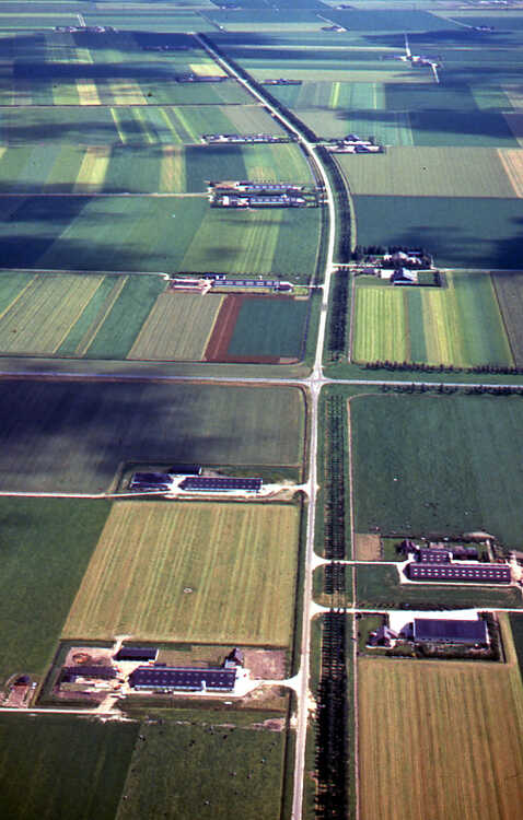
The reclamation activities consisted of a combined approach of drainage measures and the choice of crops to be grown. For this purpose, the RIJP had its own Large State Farm. Because the reclamation of an area took about five years and every year about four thousand new hectares were started, the Large State Farm was about twenty thousand hectares in size. We then showed the activities that were in progress.
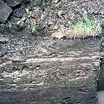
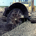
The drainage work consisted of preliminary trenches at a considerable distance, one or two years later, when the soil had acquired some structure, trenches were laid between them. One or two years later, when the groundwater level had dropped sufficiently, subsurface drain pipes were installed. Finally, all trenches were filled in again and the reclamation was completed. The reclaimed lands were then leased to the new farmers. In the side slopes of the open collector drains and in so-called profile pits, we showed how the originally almost impermeable soils cracked during the reclamation and became permeable.
Especially with groups of foreigners with whom we visited various developing places in the polder, the field visit led to a lot of amazement. We were often asked strange questions. For example, during these excursions we were regularly asked where we got the soil from to raise the entire area. It was sometimes quite difficult to make it clear to the visitor in question that we had not brought soil from anywhere and that they were now simply walking on the old seabed. Some found that a scary experience and were glad when they were out of Polder Flevoland again.
Very special in the context of this kind of remarks was a Minister of Agriculture of the Philippines, whom I once had the opportunity to show around. We were standing in the middle of Southern Flevoland and the man looked around with interest and then asked:
”How did you get it so flat?”
We also once had an intern from Peru. At the beginning of his internship I drove around with him to show him various interesting places in Flevoland. We were on the Knardijk somewhere between where the Bovenwater and the Oostvaardersplassen are now along the Knardijk. I told him how the dikes, the pumping stations and the watercourses were made, the reclamation proceeded and how the water management in the polder would be taken care of. He looked around and then said:
“Why don't you just move forty miles away?”
Yeah, I had never looked at it that way before.


