The Bay of Fundy is known for its tidal differences. The differences in water level between high and low tide are among the largest in the world. The difference in water level at the mouth of the bay is around three metres and at spring tide even 4.2 metres. At the end of the Bay of Fundy, the difference in water level can even be 16.3 metres.
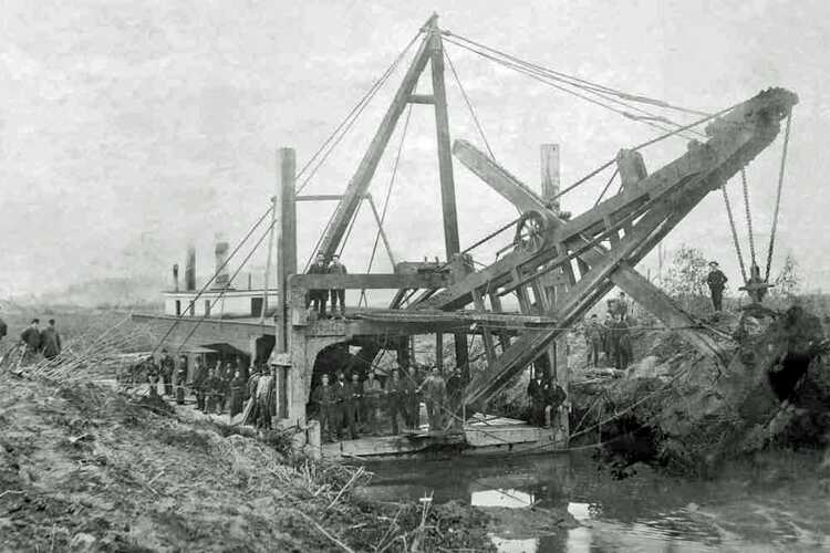
In the Bay of Fundy, from around 1633, French immigrants from the Loire region began to apply the reclamation and drainage techniques they were familiar with in Port Royal. They reclaimed 36,000 hectares of the salt marshes. In 1755, around 10,000 of these immigrants were driven out of the area by English immigrants.
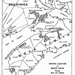
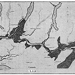
The polders are spread along the coast from the mouth to the tip of the Bay of Fundy. Most of the polders are located in the tip of the Cumberland Basin, an extension of the bay. Along this inlet there are polders with a total area of 14,700 hectares. The largest block of 7,200 hectares is located along the Tantramar and Aulac rivers. A small polder of 20 hectares is located on Prince Edward Island.
Part of the reclaimed area - the Grand Pré area in the province of Nova Scotia - is now a UNESCO World Heritage Site. The rationale describes that the Grand Pré wetland and the archaeological sites form a cultural landscape that bears witness to the development of agricultural land with dikes and the special wooden lock system, built by immigrants from France and further developed and maintained by later inhabitants.
The cultural landscape, an extensive polder area with agricultural land and archaeological elements of the towns of Grand Pré and Hortonville, which were built by the French immigrants and their successors, covers more than 1,300 hectares. The landscape is an exceptional example of the adaptation of the first European immigrants to the conditions of the Atlantic coast of North America.
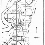
The second example of reclamation in Canada can be found in the Lower Fraser Valley, located in the southwest of the province of British Columbia in the west of the country. This valley was characterized by periodic flooding by spring rivers and a large tidal range in the estuary and therefore in the lower reaches. The valley is now partly reclaimed. The most important polders are the Pitt Polder and the Aloutte Polder, located along the Pitt River. The area was originally reclaimed between 1888 and 1894 by the British Columbia Drainage and Dyking Company. However, the dikes proved to be too low and the pumping station had insufficient capacity to keep the area dry. In 1894, the area was flooded and the polder was abandoned. In 1909 and 1930, new attempts were made to reclaim the land. Eventually, Dutch dike builders repaired and further strengthened the older dikes in 1951. The dikes were also gradually reinforced in the period from 1949 to 1961 and new dikes and facilities for protection against flooding were constructed.
The third example of land reclamation in Canada concerns the Holland Marsh in the Province of Ontario. This is now a lowland area of 7,400 hectares with mixed land use in the Holland River valley. The reclaimed part of 3,000 hectares is characterized by agriculture. The reclamation of this area was implemented between 1925 and 1930, under the leadership of William Day. Shortly after the reclamation, eighteen Dutch families settled there, who formed the core for the agricultural exploitation of the polder.
In addition to these three examples, more areas have been reclaimed in Canada, actually all by immigrants, who found their new existence here.


