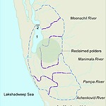
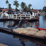
These include the deltas of four rivers (Meenachil, Pampa, Manimala and Achancoil), and the lowlands in and around Lake Vembanad.
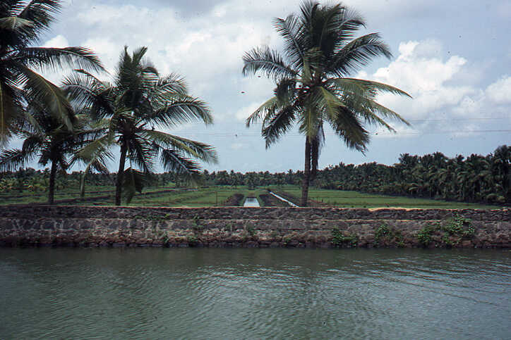
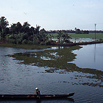
The inflow of silt into this shallow bay over thousands of years has gradually resulted in an extensive brackish water bay and lowlands. Shallow parts of the lagoon silted up further and became lowlands. The deeper parts of it resulted in the remaining lake. Originally, the lowlands were under water all year round. Later, the lowlands were flooded during the wet monsoon. In the dry season, there was intrusion of salt water from the sea. There are now polders with a total area of 55,000 hectares.
The transformation to the current rice cultivation is the result of the history of reclamation of more than two centuries. Reclamation involved the construction of ring dikes around a certain part of the shallow bay. Subsequently, the area was drained at the beginning of the harvest season by pumping out excess water. Initially, small strips of land were reclaimed. In 1818, the government issued regulations that allowed the reclamation of such lands and encouraged it by providing guarantees for ownership. The land was tax-free for the first ten years and thereafter the tax was very low. Based on a declaration of June 1865, property rights of the reclaimed lands were granted.
Between 1834 and 1984, 23,100 hectares of the lake were reclaimed. Three phases of reclamation can be distinguished. The first phase involved reclamation of scattered parcels of shallow land on the shores of the Vembanad Lake by individuals. The second phase began in 1888 with the government's decision to provide loans for the development of the reclaimed areas. This encouraged farmers to make substantial investments. This phase lasted until 1903 when the government did not allow further reclamation.
The third phase, which lasted four decades, began with the lifting of the ban on land reclamation in 1912. At that time, the manually operated wooden wheels used to drain excess water were replaced by kerosene and diesel pumps. This made drainage of the polders more easy.
During the First World War, India suffered from severe food shortages. This resulted in a rise in the price of rice, which encouraged further reclamation. However, during the period 1924-1931, the price of rice in Kuttanad fell by more than 50%. Farmers who had invested heavily gave up rice cultivation or reduced the intensity of the crop by leaving their land fallow for one or more years.
In the early 1930s, the price of rice started to rise again and the reclamation works also gained momentum. During the Second World War, food shortages again occurred throughout the country, which led to a significant increase in the price of rice. The use of electric pumps from 1940 onwards further reduced the cost of drainage and also acted as an incentive for reclamation activities. During the third phase, more than 5,000 hectares of the Vembanad Lake were reclaimed.
Due to flooding during the wet monsoon months and intrusion of salt water during the dry season, it was almost impossible to grow a second rice crop. To address this problem, the State government undertook three major projects during the period 1950-1975: the Thottappally Spillway, the R-Block-Holland System and the Thanneermukkom Bund.
Studies in the 1930s had already shown that flooding could be reduced by discharging excess water directly into the Arabian Sea in the south of the flood-prone area. To achieve this, construction of the Thottappally Spillway began in 1951.
The construction of dikes around part of the polders as part of the R-Block-Holland project started in 1961. The original dikes were made of mud and were not strong enough to withstand wave attacks. As part of this project, improved dikes with a crest height of 2 metres above mean sea level, a crest width of 3-4 metres and a total length of 10.4 kilometres were constructed around the R-Block. In the 1970s, projects were started to improve and further strengthening of the dikes.
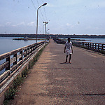
Over the years, a special rice variety that can withstand a relatively high salinity has been developed in Kuttanad. However, saltwater intrusion still posed a threat to rice cultivation in the polders near Vembanad Lake. To address this problem, the 1.46-kilometre-long Thanneermukkom Dam (a saltwater dam) was built in the lake, creating a special type of enclosed tidal basin. Construction was completed in 1975.
The dam prevents salt water ingress and promotes the cultivation of two rice crops in the 50,000 hectares of polders. The dam is designed as a bridge with a sluice gate and a provision for navigation. This is one of the largest salt water dams in India. Every year the gates are closed in December and remain closed till May to prevent salt water from entering Vembanad Lake.
