In the local tourist office we looked at some brochures. It turned out that we were near an area where in 1010 Benedictine monks founded the abbey of Maillezais. This abbey was then located on an island in the coastal plain called Marais Poitevin.
The Marais Poitevin has been subject to flooding over the centuries, both from the sea and from the rivers that discharge into it. In the northern part, several rivers brought silt, and siltation was caused by the sea, creating landscapes on the transitional zone between water and land. These landscapes were of no interest to the local nobles. They were therefore given to Benedictine monks, who did show an interest in settling in this coastal plain. As early as the fourth century, these monks had built abbeys on the banks and islands in the Marais Poitevin.
Towards the end of the tenth century, the first polders were created by the monks to protect the lands against the sea and high river discharges, as well as to make agriculture possible. At the end of the twelfth and the beginning of the thirteenth century, several canals were also constructed and parts of the area were further impoldered and developed by the monks of Maillezais, who worked together with monks from other abbeys in the area.
In the fourteenth and fifteenth centuries, these hydraulic engineering works were almost completely destroyed during the Hundred Years War and the various religious wars that followed. The efforts of the monks were almost completely lost, firstly due to lack of maintenance of the dikes, and then due to destruction by Protestants, who fought the monks.
Towards the end of the conflict, King Henry IV, in view of the extent of the damage and the fact that the area was relatively quiet again, was looking for people who would be able to restore the water management systems and the hydraulic works in the Marais Poitevin. Because the local abbeys, the nobles living in the area and nearby, as well as the French kingdom itself had been weakened by the wars, Dutch hydraulic engineers were called upon to take over the work of the monks. The Dutch not only brought their knowledge and skills, but also provided the necessary financing. Humphrey Bradley, one of the Dutchmen, was elevated by the king to Grandmaître des digues du Royaume in appreciation.
In 1599, a royal decree gave Bradley all the means and resources to act quickly. If local nobles and landowners refused to repair or build new dikes, he would carry out the projects in their place, but he would also take over half of the re-impoldered land. This position angered the local population. Many saw this approach, which was directly related to their fishing and hunting rights, as an interference with their way of life. Some destroyed the dikes, thus hindering the Dutch projects.
The Dutch plans and projects had a careful geometric design, especially in the Bay of Brault, where several discharge sluices were built. After the assassination of Henry IV and the death of Humphrey Bradley, most projects were not completed due to new uprisings. Pierre Siette, who had been appointed royal engineer by Louis XIII, restarted the projects thanks to legally regulated financial support. For this he also received donations from local landowners and nobles. In order to keep the workers on site, villages and communal land were developed. Small houses were gradually built on the dikes.
By the end of the seventeenth century, the reclaimed parts of the coastal plain looked much the same as it is looks now. The non-reclaimed parts remained natural areas with some habitation. However, most inhabitants settled in the polders. In the nineteenth century, the State decided to start reclaiming land again. Based on a decision by Napoleon, reclaimed land that had not yet been developed was reactivated.
Laws concerning the reclamations came into force on 16 September 1807. On the basis of an imperial decree of 29 May 1808, the necessary hydraulic engineering works were realised to ensure good drainage of the lands and inland navigation on the watercourses. Several projects made it possible to grow better crops and to have improved navigation on the canals by reducing the flow rate during high river discharges. Most of these works were realised under the reign of Louis-Philippe I, who set up three separate water management organisations. In these water management organisations all the nobles who were obliged to establish and inspect all works and charges were represented. Several canals were dug. The State took over most of these works.
These changes were accompanied by new laws and regulations concerning the operation, maintenance and management of the watercourses: each landowner took care of the drainage canals in his area, the local communities took care of the smaller canals, while the larger canals were managed by a specific water management organisation, or directly by the French State. Shortly afterwards, dams were built to regulate the discharge of the large watercourses in order to maintain a good water level during the summer.
In 1862, Evrard, a public works engineer, started a new project on the Sèvre River, the riverbed was widened and deepened to ensure maximum discharge. This measure prevented, among other things, flooding of the polders during the great flood of 1872. Other necessary projects to regulate the discharge were also realised. Slowly, these projects would result in a better use of the wet parts of the coastal plain. Trees were planted and gradually the original reed beds were replaced by meadows.
However, these measures could not prevent flooding, which occurred mainly in spring, often being very damaging to agriculture. This was caused by problems, most of which were specific to flat areas: disproportion between the large river basins and the relatively small receiving coastal plain, a small gradient over the coastal plain, the blocking of the outflow of water by the nobles in the polders who wanted to prevent flooding over their land and by the limited time available of 12 hours per day for discharge to the sea.
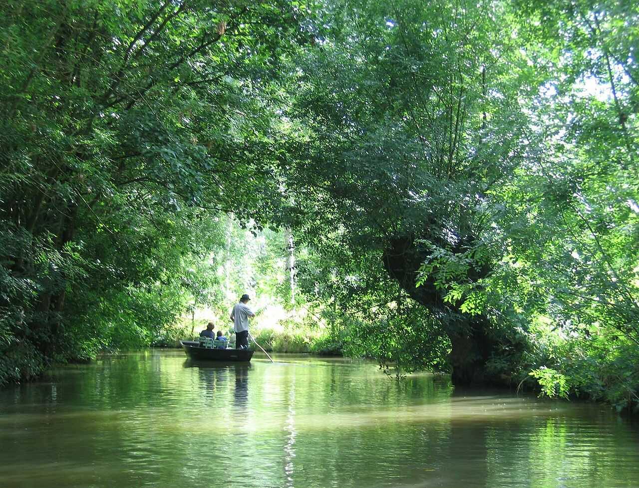
On 3 January 1979, the Regional Nature Park Marais Poitevin was established, which allowed for a great deal of attention to be paid to the specific character of this area and to the promotion of agriculture, nature and recreation. Since the first reclamations by Benedictine monks at the beginning of the eleventh century, the area with its polders, marshes, lakes, rivers and canals has been enjoying increasing interest after many hydraulic engineering works and, in the meantime, good operation, maintenance and management.

