In order to protect the inhabitants and the rice fields along the Logone River from flooding, between 1950 and 1970 dikes have been built along the river over a certain length. In order to promote rice production in the area and to better organize the sale and transport of rice, a company called Société d'Expansion et de Modernization de la Riziculture de Yagoua (SEMRY) was founded in 1954. Following this, the dikes along the Logone River were extended in 1957. However, preventing flooding by the Logone remained a problem.
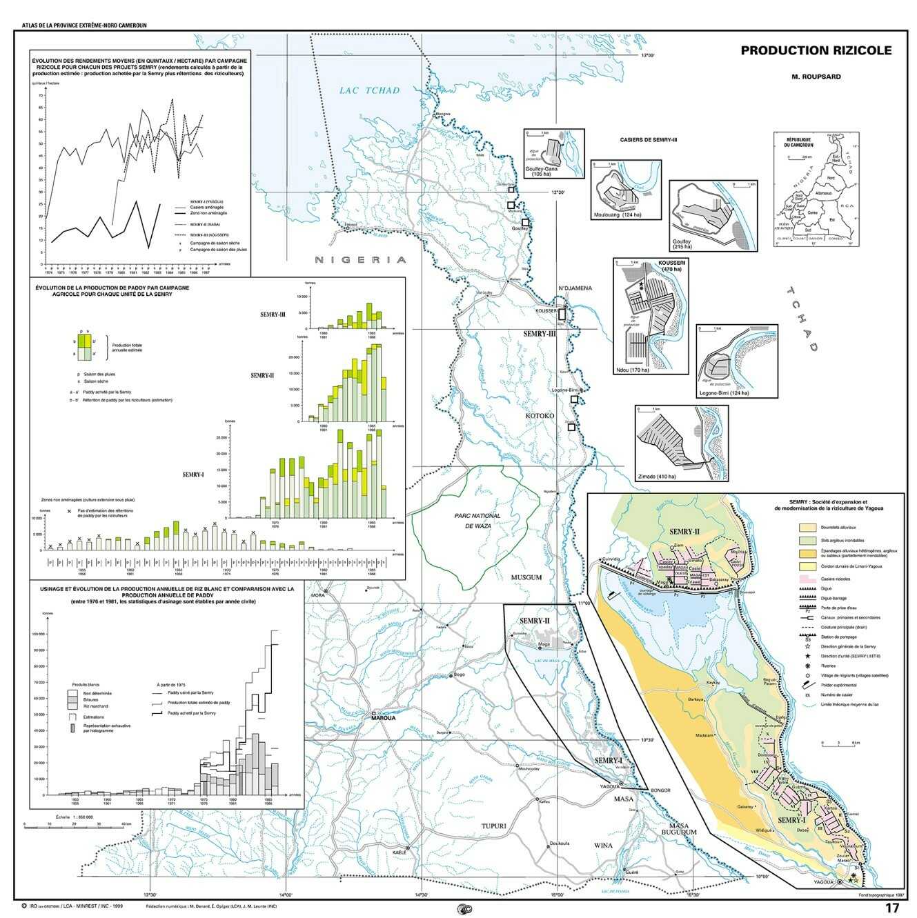
In the context of the Second Development Plan of Cameroon (1966-1971), the government commissioned a feasibility study into an intensification of the activities of SEMRY. This intensification program included, among other things, the further construction of dikes to better counteract flooding from the Logone River and to realize controlled irrigation of the rice fields with pumps. Based on the results of the feasibility study, the SEMRY I Project, consisting of several polders with a total surface area of 5,300 hectares, was realized in 1971.
Given the success of the SEMRY I polders, the government decided to extend the intensification programme to other favourable areas in the Yaéré River Plain. Site studies led to the realisation of two other SEMRY polder areas in 1976, SEMRY II, with a polder area of 15,000 hectares, in 1977 and SEMRY III with several polders totalling 1,148 hectares, in 1978.
The SEMRY polder areas are a special type of polder, the horseshoe shaped type. These low-lying areas are protected by dikes against flooding from the river and are equipped with a drainage system. However, due to the slope in the river plain, they have a free discharge at the downstream side.
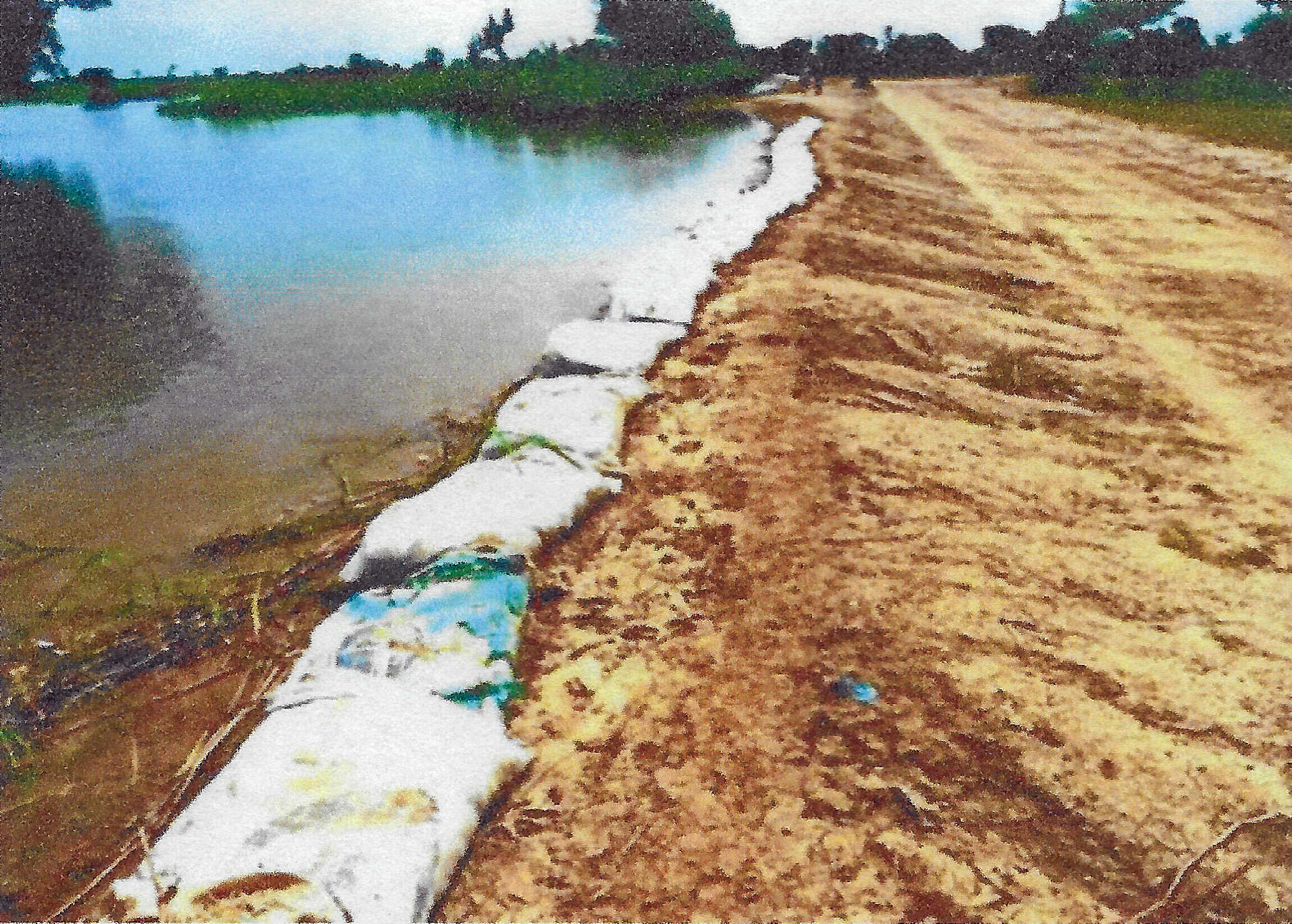
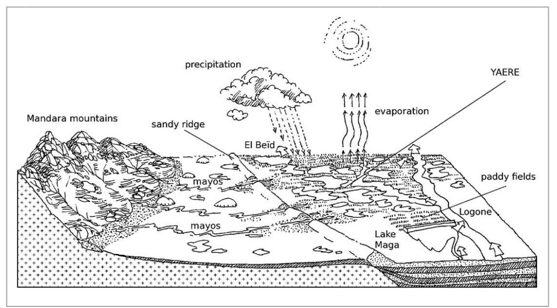
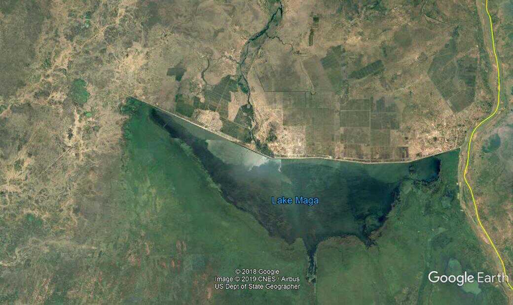
To avoid the costs of pumped irrigation, the 27 km long Maga Dam was built between 1979 and 1981 across the Yaéré River Plain to create the Maga Dam. The lake has a surface area of 36,000 hectares. The dam protects in particular the 15,000 hectares of rice fields of the SEMRY II polders. When the lake is full, a spillway discharges the excess water to the Yaéré River Plain. During operating periods, the excess water discharged from the rice fields is also diverted to the river plain. The Maga Dam was connected to a dike on the banks of the Logone River. Work on this dike, which had been built between 1950 and 1970, continued during the realisation of the SEMRY II Project until 1979, when the dike on the Cameroon side was completed.
After the government resigned, responsibility for water management was transferred to groups of rice farmers, which, partly due to the intervention of local traders who were often poorly equipped, did not yield the expected results. Despite the liberalization of the rice market in 1991 and the subsequent restructuring, the SEMRY struggled to emerge from this stagnation.
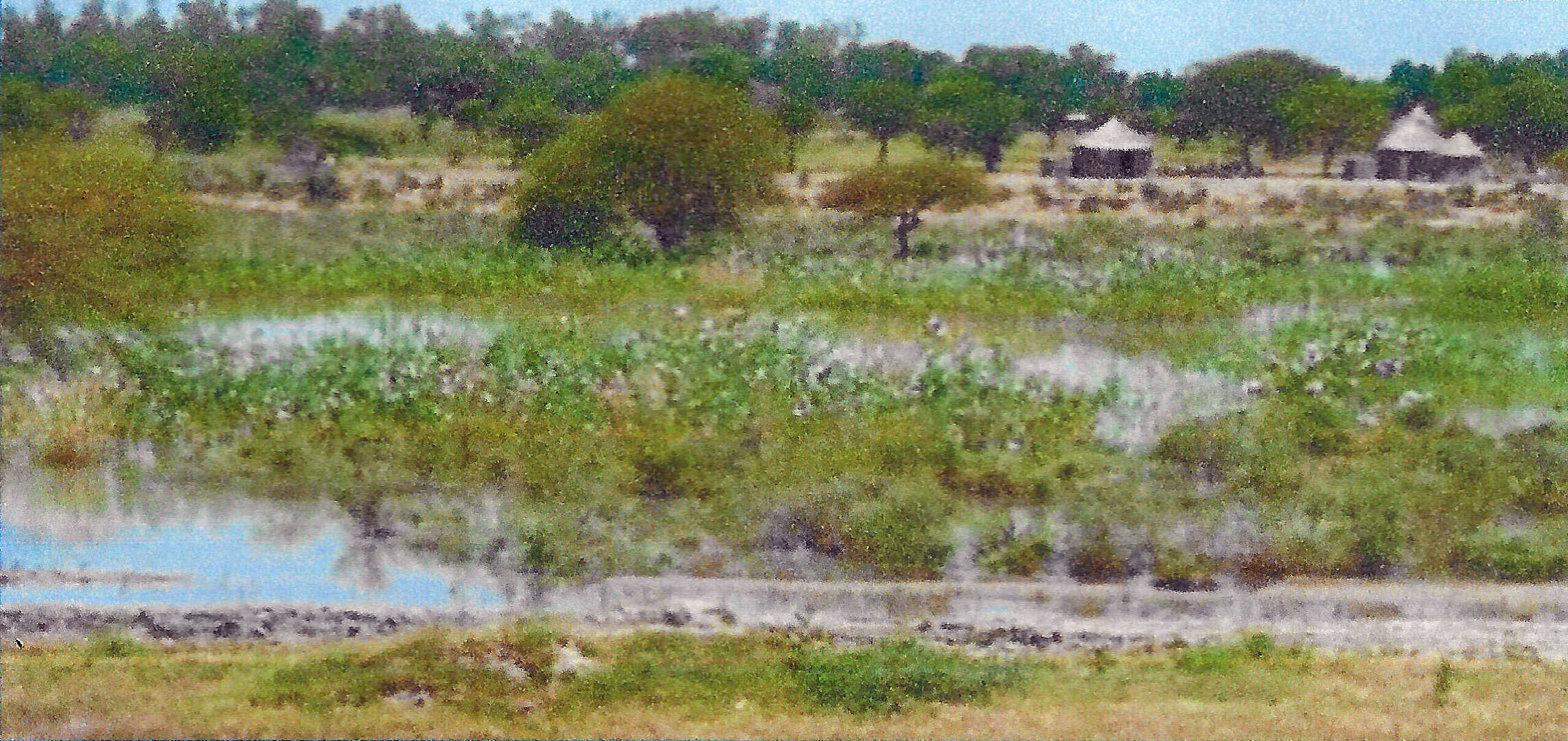
In addition to the beneficial effect of the Maga Dam on the SEMRY II rice polders, the dam had a negative impact on the conditions in the adjacent nature reserve and the fisheries in the river plain downstream of the dam, as regular flooding of the river plain no longer occurred. Therefore, a project was started to restore regular flooding in the areas outside the SEMRY polders to a certain extent.
In 1994, an experiment for flood recovery was started by opening the Logone dike at one of the tributaries. This partial flood recovery was welcomed by the population, which led to an additional opening at another tributary in 1997. This situation was considered satisfactory by all parties and has continued since then. However, discussions about the consequences of the Maga Dam on the water supply of the Yaéré River Plain are still ongoing. For more information and details of the references, see the Batavialand website under the link: https://www.batavialand.nl/en/cornelis-lelycentrum/water-management-polders. Under Africa there is a link to the country document of Cameroon