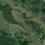
The Mekong River originates in China and flows through Laos, Myanmar, Thailand and Cambodia to Vietnam, where it flows into the South China Sea. The Mekong has a high discharge from June to October and a low discharge from November to May. This causes the Tonlé Sap Lake to gradually empty into the Mekong from November, and to fill up again from June, when the water in the Mekong rises.
The Cambodians have used this lake level fluctuation for centuries by sowing crops when the lake level dropped and the very shallow banks dried out, and harvesting them before the water rose again. Fishing also plays an important role in the lake. However, a number of dams have now been built in the upper reaches of the Mekong and there are advanced plans for even more dams. As a result, the Mekong's regime is changing and it is still questionable whether and how the Tonlé Sap system can continue to function.
As mentioned, Cambodia, in addition to the special situation of the Tonlé Sap Lake, has extensive lowland areas and some polders. Some of the polders are located directly north of the capital Phnom Penh. These polders have become quite urbanized due to the rapid growth of Phnom Penh and will probably become fully urbanized polders.
Another large polder area is located on the southern coast of Cambodia. This concerns the Prey Nup Polders, most of them were reclaimed between 1935 and 1944. A major renovation took place between 1975 and 1979 and an additional area was also reclaimed. It now concerns six polders with a total surface area of approximately ten thousand hectares, which discharges its excess water via discharge sluices into the Gulf of Thailand under during lower outside water levels. These are mainly agricultural polders with predominantly rice fields.
In 2007 I made a trip from Phnom Penh to the coastal city Sihanoukville. This provided an excellent opportunity to view the landscape. The first thing that struck me was the extensive areas with landfill south of Phnom Penh to allow for industrial development. Cambodia was a low income country in the region and there were hopes for large industrial developments.
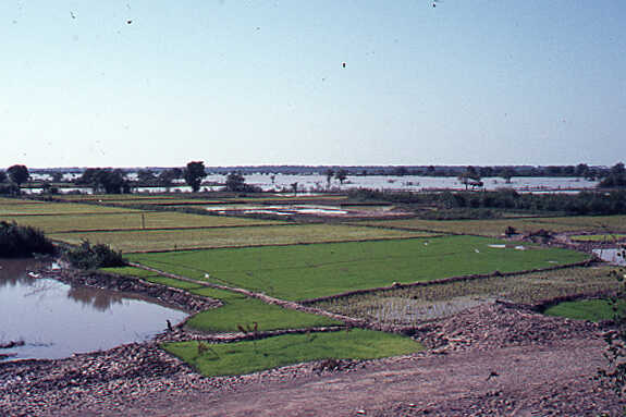
The trip then continued through vast lowland areas. These areas have a lot of agricultural potential because they have fertile soils. You just have to treat them well. Now that the country has come in a much better political situation since 1993, it can be expected that this potential will also be increasingly used. The increase in rice production is already a good indicator of this. This production has grown in recent years from 2.5 million tons in 1993 to almost 11 million tons in 2019. Cambodia is now the twelfth rice producer in the world. It can be expected that they will continue to climb this ladder in the coming years.
We may also assume that this will lead to further land reclamation to reduce the risk of flooding in the lowland areas. Perhaps submersible dikes will also be chosen, such as those existing in the Mekong Delta. These dikes are normally only overtopped during the peak of the wet season, which also deposits fertile sediment in the polders.


