To promote the realization of this plan, cooperation was sought with the former IJsselmeerpolders Development Authority (RIJP). This has led to a research collaboration. From 1980 to 1986 I was the coordinator of this collaboration on the Netherlands side.
The Danube Delta is located in eastern Romania on the Black Sea. The area is approximately 560,000 hectares, of which approximately 460,000 hectares are on Romanian territory. The remaining 100,000 hectares are located in the territory of the former Soviet Union, now Ukraine. At that time, only 6,000 people lived in a few small villages in the Danube Delta. Infrastructure, roads, electricity and drinking water supplies were almost completely lacking. Sulina along the Black Sea was the largest village with approximately 3,600 inhabitants. The hamlets were built on levees or on artificial mounts. Almost all transport was by water. There was some recreational development along the Black Sea coast. The delta was predominantly covered with very coarse reeds. There were mainly willows and poplars along the channels. The latter were partially planted.
The discharge of the Danube ranged from 1,500 to 20,000 cubic meters per second, with the maximum discharge generally occurring in the period April-May. This implied that large parts of the delta were flooded for several weeks. This may have changed somewhat due to the construction of the two Iron Gate dams in the more upstream part of the Danube. The discharge of water through the delta took place via three main branches. The northernmost was a border river between Romania and the former Soviet Union and was clearly the most important branch. A number of smaller channels existed between these three main branches.
The northern and western part of the delta consisted of a levee and depression landscape with fairly extensive dune areas in the East. The levees consisted of a fairly heavy clay cover of varying thickness on a sandy base. The depressions also contained heavy clay and local peat. Very shallow lakes (0.3-0.5 meters) existed in various places. The Danube carried approximately 50 million tons of silt per year. This was largely deposited in the delta on the territory of the Soviet Union. Due to the almost fixed level of the Black Sea, the delta was virtually not under the influence of tidal movements.
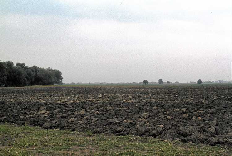
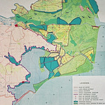
In the period 1950-1980, several small agricultural polders were constructed in the Danube Delta. The larger Pardina Polder (28,000 hectares) was used for reed cultivation at that time. With the help of a pumping station, water could be pumped into this polder to maintain the water supply for the reed. The harvested reed was used for the manufacturing of cellulose. However, this was no longer feasible. In the context of the development plan for the Danube Delta, it was therefore decided to adapt the Pardina Polder and transform it into an agricultural polder. This step was to be seen as the first in the planned reclamation of 100,000 hectares of agricultural polders in the Danube Delta. A plan to this end was drawn up in 1980. The development of the Pardina Polder had to take place from 1980-1990.At that time there was cooperation in the field of agricultural research between the Romanian Ministry of Agriculture and Food Industry and the Netherlands Ministry of Agriculture and Fisheries. In this context, research inrelation to the plans for the development of the Danube Delta was also included in 1981. This led to the RIJP becoming more involved in the investigations. Since there were a large number of expert research institutes in Romania, the contribution of the RIJP had the character of a sounding board function and a deliverer of bad messages. In addition, it was highly appreciated on the Romanian side to also become familiar with modern research, design and implementation methods.
With regard to the development plan for the Danube Delta, comments were mainly made regarding a number of components. Firstly, it was assumed that approximately 100,000 hectares were suitable for agricultural exploitation. Based on the information that was provided, albeit with difficulty, there were strong doubts as to the feasibility of this. The available soil map made it possible to further indicate which areas were indeed potentially suitable. This was a considerably smaller area than initially assumed.
The Danube Delta was virtually unpopulated. Therefore, acceptable conditions would have to be created to attract people. This would probably be a rather expensive task.
The cost-benefit analysis that was drawn up could have been significantly worse for three reasons. First of all, this was because a smaller area could be developed agriculturally than had been assumed. In addition, higher costs for infrastructure construction had to be expected. Finally, a longer development period had to be expected, which would mean that it would take longer before the investments could be recovered.
These were impossible messages for the Romanian specialists at the time, because the politicians simply expected that specialists were there to realize their grand plans and certainly not to tell them that something was not possible or was unwise. Such a message would immediately lead to dismissal. People were therefore careful not to say this themselves. Therefore, we were asked to include such messages in our reports, at least then they came from 'expert' foreigners.
Based on the above matters and in order to obtain practical data, it was considered very important to first investigate the various options in a pilot area before making major investments. This concerned in particular possible methods of soil improvement especially in relation to peat and sandy soils, irrigation methods, necessity and possible methods of drainage, possible crop yields under different soil conditions, the carrying capacity of the soils in connection with agriculture machines and finally the influence of wind erosion.
In the summer of 1982, preparations began for an 800 hectare pilot area in the Pardina Polder. The area was chosen in such a way that the different soil types existing in the Pardina Polder were represented as much as possible. Depending on the results that would be obtained in this pilot area, the proposed developments could be adjusted. Given the stage of development in which the Danube Delta was by that time, the possibilities for this were still ample. The plan for the pilot area was put on paper in close consultation. Although there was complete agreement about the set-up of the pilot area, it was never constructed. Each time there was a different story as to why construction had been postponed. Because no further progress was made, I withdrew from the project in 1986. As far as I know, the pilot area was never constructed afterwards. However, our influence has been of some use, because as far as I know, the proposed reclamations have not been implemented, which has prevented a lot of damage and costs. The Pardina Polder itself has nevertheless been further developed into an agricultural polder, as a look at Google Earth shows.


